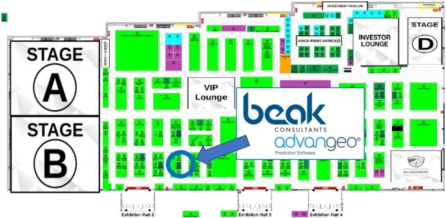
Visit us at our booth 503. Our staff Dr Andreas Barth and Markus Zingelmann will meet you!
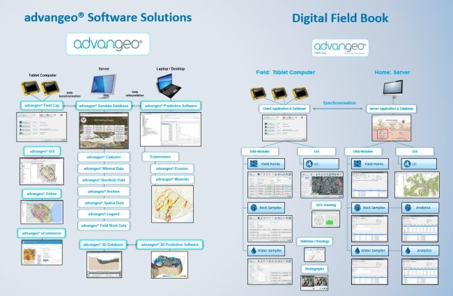
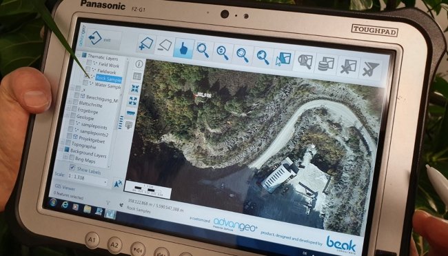
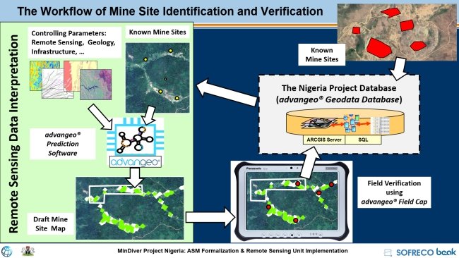
The advangeo® Field Cap software in combination with a Panasonic Toughpad is the ideal companion of the field geologist. The electronic field book allows formatted capture of field data and supports data exchange and teamwork. Data can be uploaded, downloaded and shared. The currently available software covers geological mapping and sampling, geochemical sampling, hydrogeological sampling and monitoring, mapping of geotechnical risks and hazards, mapping of mineral data, mapping of mining operations. The software is adjustable to individual needs. Analytical results can be imported.
The customized GIS application makes field data and analytical data available for further processing and presentation in the context of complex geodata.
The server application is integrated into advangeo® Geodata Database software, making the entire archive available for data analysis.
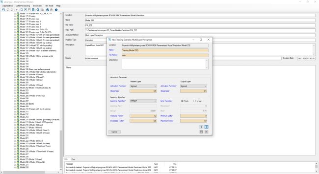
The integration with advangeo® Prediction Software allows the use of satellite data, elevation models and other data for quick creation of interpreted maps.
On request of our national and international clients, we develop customized software. We cover the full cycle of software development from requirement analysis, through planning, prototyping, implementation, training up to maintenance. Our customized databases and information systems support the activities of many governmental organizations and commercial companies worldwide.
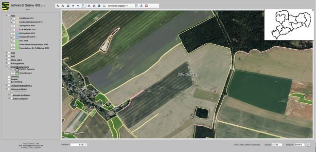
In Saxony/ Germany, on behalf of the Saxon Agency for the Environment, Agriculture and Geology (LfULG), we develop the information systems geology, hydrogeology, environmental protection and registry of bore holes (ELBA.Sax) and InVeKoS Online GIS.
In Nigeria, on behalf of the Ministry of Mines & Steel Development in the project “Formalization of Artisanal Miners into Cooperatives and Small-Scale Miners into Larger Mineral and Financial Enterprises together with the Design and Implementation of an ASM Remote Sensing Monitoring System in the Mining and Steel Sector”, we develop methods for identification and monitoring of mining activities (Joint project SOFRECO/ Beak Consultants GmbH).
In the frame of the projects WISTAMERZ, NEXT, LIGHTS and MAP new modules and methods are developed and integrated into our software products and made available for date processing.
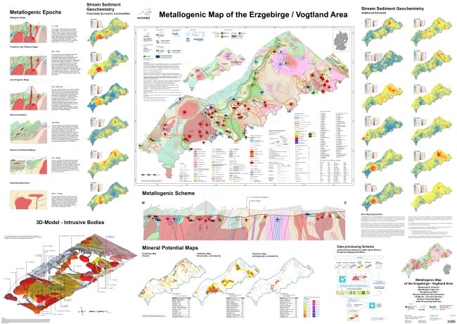
The new Metallogenic Map of the German Erzgebirge is based on a unique metallogenic concept explaining the mineral wealth of the district. It is based on the available by 2019 mineral knowledge, integrates modern predictive mapping methods and opens perspectives for the discovery of new ore deposits.
The unique database of the Saxon Erzgebirge is used in all our research projects. It is the ideal playground for developing and evaluating new data processing technologies.
The close relationship between information technology and applied geosciences is the core philosophy of our company.
For general information, please see www.beak.de and www.advangeo.com. For software inquiries, exploration targeting support and consultancy services, please contact andreas.barth@beak.de.
