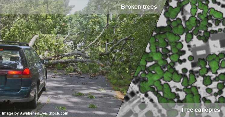
In collaboration with the Federal Highway Research Institute (BASt), which is part of the BMVI Network of Experts that focusses on climate change, sustainability and environmentally friendly development as well as aging transport structures, Beak developed an area-wide applicable, GIS-based methodology for individual tree detection and analysis of potentially windthrow-endangered sections of the national trunk road network. The application is based on freely available high-resolution LiDAR and RGBI-orthoimage data sets.
The results of our work were recently published in the „Journal of Applied Remote Sensing“ (SPIE Digital Library):
Michael Steffen, Mandy Schipek, Anne-Farina Lohrengel, Lennart Meine, "Identification of windthrow-endangered infrastructure combining LiDAR-based tree extraction methods using GIS," J. Appl. Rem. Sens. 15(1) 014522


