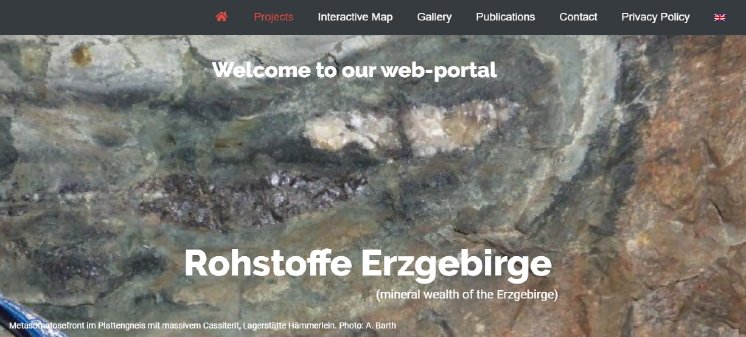
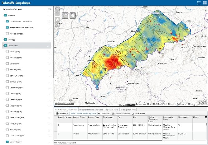
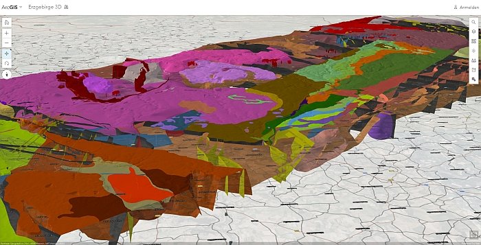
Highlights are the printed maps of the “Geochemical Atlas” and the “Metallogenic Map”, as well as the interactive 2D maps and 3D models showing the mineral occurrences and selected mineral predictive maps.
Equipped with data and results from the R/D projects executed by Beak in the years 2015 – 2020, the portal is meant to develop into a living platform for publication and exchange of information.
We offer this platform to all interested partners from business, science and public services for publication of their results and data. Currently, this is possible under “Publications” and directly in the interactive maps. With the growing amount of information, new chapters can be added, e.g. for mining, education, tourism and much more.


