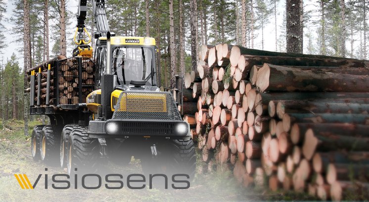
In order to accelerate timber logistics in the forestry industry, the manual method of recording quantities of timber in timber stacks needs to be replaced by a digital detection system, the goal is to determine the volume of the timber harvest on site, immediately after it is felled. For this application, visiosens developed the extremely rugged “Polterluchs” camera system, an image processing system mounted directly to the forwarder.
This system enables data on wood piles to be recorded incredibly quickly, direct from the vehicle, simply by positioning the viewframe at the beginning of the wood stack and then driving past it. The recorded data is available on site immediately after being recorded and can be forwarded and processed using a variety of EDP systems.
Designed for use in tough conditions
The “Polterluchs” is developed for the tough environment in the forest, enabling professional users to work in the most extreme weather conditions. The special housing is made from aluminium and is waterproof, dustproof and shockproof and can also be used without difficulty at very high or very low temperatures.
Intuitive and powerful software
The well-organised and clearly structured software interface offers users a quick point of entry to the digital collection of data on wood piles, the user interface is designed for use with a wide range of touchscreen computer systems. In just a few steps, the image of the wood pile can be recorded, evaluated and made ready for storage or forwarding to the head office or haulier by UMTS, GPRS, etc.
Compact measuring system
The hardware and software of “Polterluchs” is optimised for day-to-day use in difficult conditions. The special camera can be mounted as required to ensure quick and safe installation on a wide range of vehicle types.
Integration of “Polterluchs” into GeoMail
It is also possible to integrate “Polterluchs” into the forestry logistics software GeoMail, providing the user with full digital data collection and coordination of wood stacks. “Polterluchs” can be launched directly from GeoMail, allowing the evaluated wood stack data to be added and processed immediately.


