MBI's Digital Boundaries Release 2025
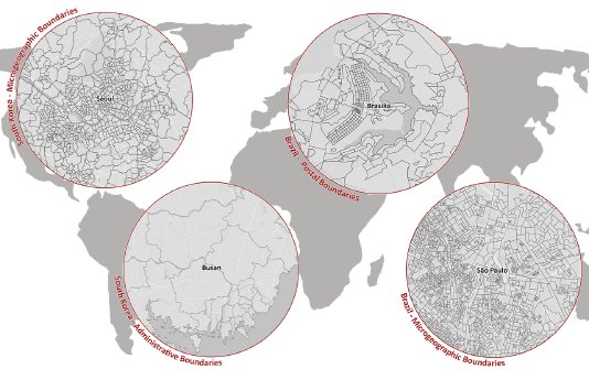
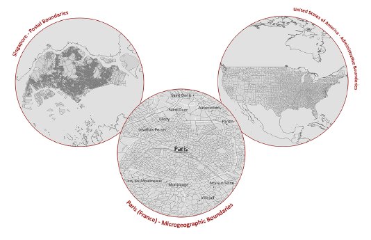
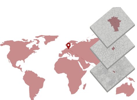
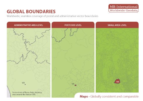
Digital boundaries are vector-based datasets that precisely map administrative, postal, and micro-geographic boundaries.…
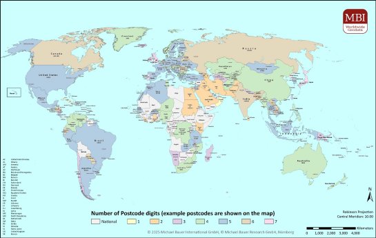
Digital boundaries are vector-based datasets that precisely map administrative, postal, and micro-geographic boundaries.…
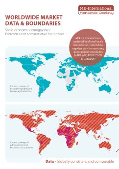
Michael Bauer International (MBI), a leading provider of small-scale geodata, is pleased to announce the release of the…
As the world becomes increasingly interconnected, accurate data has become crucial for businesses operating on a global…
Mit dem Release 2022 ist unser jährliches Update des Gebietsstandes für eine Vielzahl von Ländern in Europa, Nordamerika…
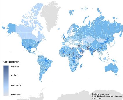
The MBI CONIAS global political risk data from Michael Bauer International GmbH are now also available for the CRESTA zo…
MBI’s aktuelle Daten informieren zur politischen Bedrohungslage und unterstützen Unternehmen dabei, Risiken für Standort…
The focus of the 2020 release of the global boundaries was the development of new micro boundaries as well as the adapta…

The latest release 2019 of MB-International’s global area boundaries comes with numerous territorial changes. Especially…
The latest Global area boundaries update comes with numerous improvements such as boundaries for additional countries, a…
Um Geomarketing-Analysen immer detailgenau auf dem aktuellsten Stand zu ermöglichen wurden zahlreiche neue Gebietsstände…
